GLOBAL WATER SURVEY
1. Introduction:
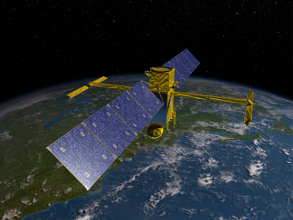
- A NASA-led satellite was launched from California, to conduct a comprehensive survey of the world's oceans, lakes & rivers for the first time.
- SWOT-Surface Water & Ocean Topography, the advanced radar satellite is designed to give an unprecedented view of the water, covering 70% of the planet, shedding new light on the consequences of climate change.
- A Falcon 9 Rocket, owned & operated by Elon Musk's SpaceX company, was set to liftoff from the Vandenberg US.
- Space Force Base, about 170 miles northwest of Los Angeles, to carry SWOT into orbit.
- The SUV-sized satellite will produce research data within several months if all goes as planned.
- SWOT took nearly 20 years to development incorporating advanced microwave radar technology.
- This technology will collect height-surface measurements of oceans, lakes, reservoirs, and rivers in high-definition detail over 90% of the globe.
3. Enhanced Models:
- The data compiled from radar sweeps of the planet at least twice every 21 days, will enhance ocean-circulation models, and bolster weather & climate forecasts.
- It also aids in managing scarce freshwater supplies in drought-stricken regions.
- One major thrust of the mission is to explore how oceans absorb heat & carbon dioxide in a natural process that moderates global temperatures & climate change.
4. Better Results:
- Scanning the seas from orbit, the SWOT was designed to precisely measure fine differences in surface elevations around smaller currents where much of the oceans' drawdown of heat & carbon occurs.
- The SWOT can do so with 10 times greater resolution than existing technologies.
- The SWOT's ability to discern smaller surface features will help study the impact of rising ocean levels on coastlines.
- More precise data along tidal zones would help predict how far storm-surge flooding may penetrate inland.
- Freshwater bodies are another key focus of the SWOT, equipped to obtain equipped to observe the entire length of nearly all rivers wider than 330 feet & more than 1 million lakes & reservoirs larger than 15 acres.


